Aplicom A9 TRIX


Aplicom A9 TRIX is an advanced 3G unit with ready made software, configurations and the latest functionalities on the market. Not only does it have improved transfer speeds, but the unit is suitable in regions where GPRS network is not available or has a poor coverage. The unit is future proof in areas where the 2G network life cycle will last for only a few more years.
Location and tracking
- GPS, GLONASS
- Continuous tracking mode
Mobile networks
Aplicom A9 TRIX automatically uses the best possible network that is available via GPRS, EDGE, UMTS or HSPA.
The unit is capable of high data transfer rates with a downlink speed of up to 7.2 Mbps and an uplink speed of up to 5.7 Mbps. It has dedicated versions for both EU and US frequencies. The US version is suitable for use in North America and the EU version in the rest of the world.
Due to a lack of network frequencies and a need for higher communication speed, many operators plan to close their support for 2/2.5G in the coming years.
By supporting 3G, the A9 TRIX is future-proof also in this context.
Power supply
- Build-in battery, Li-Ion, 200 mAh
- External power supply
Inputs and outputs
- 2 multi-functional inputs
- 1 open collector output
- RS232
- 1-Wire
Other features
- 3G network support
- CAN -interface with software options for CAN/FMS and CAN ID
- K-line for real-time tachograph data (version A9 TRIX RDL)
- Extensive memory capacity for smooth operation and to expand features
- Highly reliable two-processor architecture
- GPS/GLONASS positioning supported with A-GPS and Cell ID positioning
- Internal GSM and GPS/GLONASS antennas
- Back-up battery
- 3D Accelerometer based acceleration measurement, movement detection and wake-up
- Serial port SW option
- Unit features are expandable and have many available SW options; these can be updated later on by the Aplicom device OTA update service
- Geofence support with different shapes for geofence definition (circle, box, polygon) and geofence in/out reporting
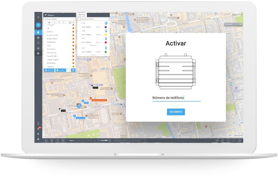
Conexión del servidor
| Servidor de la UE | tracker.navixy.com (52.57.1.136) |
| Servidor de USA | tracker.us.navixy.com (13.52.37.2) |
| Puerto de servidor | 47681 |
| Auto registro | Sí |
Información general
| Finalidad | Vehículo |
| Peso | 70 g (2.47 oz.) |
Conectividad
| Nivel de señal | Sí |
| ID del operador | Sí |
Información de ubicación
| Nivel de señal GNSS | Sí |
| LBS | Sí |
Características
| Odómetro | Sí |
| Lectura del identificador del conductor | Sí |
Interfaces
| Entradas digitales | 2 |
| Número de salidas | 1 |
| Sensor analógico | Sí |
| Sensor de impulsos | Sí |
| Sensor de frecuencia | Sí |